Building
sleeve house
yohji yamamoto
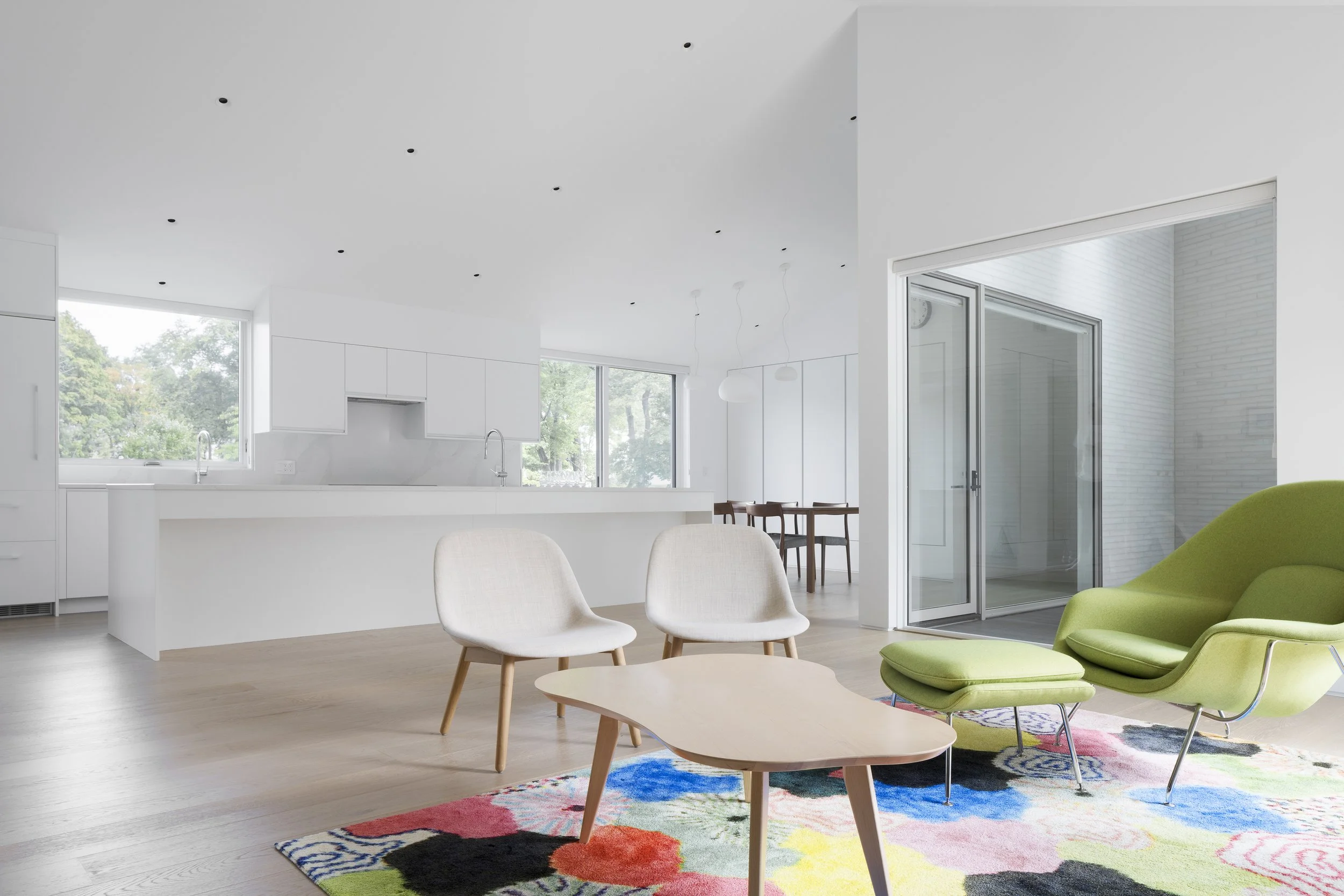
zag house 2
hollow house
zag house 1
pf house
Drawing
ideas of nature
shimmer house
eroded images
new atlantis
solid bodies
boolean house
moon monster
grids
boxes
info
press
instagram
Building
sleeve house
yohji yamamoto
zag house 2
hollow house
zag house 1
pf house
Drawing
ideas of nature
shimmer house
eroded images
new atlantis
solid bodies
boolean house
moon monster
grids
boxes
info
press
instagram
home
/
zag house 2